How to Choose the Best Drone Sensor for Your Needs?
In the ever-evolving world of drone technology, selecting the right drone sensor is crucial. Experts recommend a thoughtful approach to this decision. Mark Thompson, a leading figure in the drone industry, states, "Choosing the right drone sensor can completely transform your aerial imaging experience." His insight highlights the importance of understanding specific needs before making a selection.
Different applications, such as agriculture, surveillance, and mapping, require unique drone sensors. High-resolution cameras may be ideal for photography, while multispectral sensors excel in agricultural monitoring. Each option comes with its own set of strengths and weaknesses. Being aware of these characteristics is essential.
Additionally, many users overlook the importance of compatibility. Not every sensor works seamlessly with every drone model. This mismatch can lead to wasted resources and frustration. It's vital to assess both the drone and sensor specifications carefully. Emphasizing this point can help users make informed choices and avoid common pitfalls. Ultimately, selecting a drone sensor is a nuanced decision that demands careful consideration of various factors.
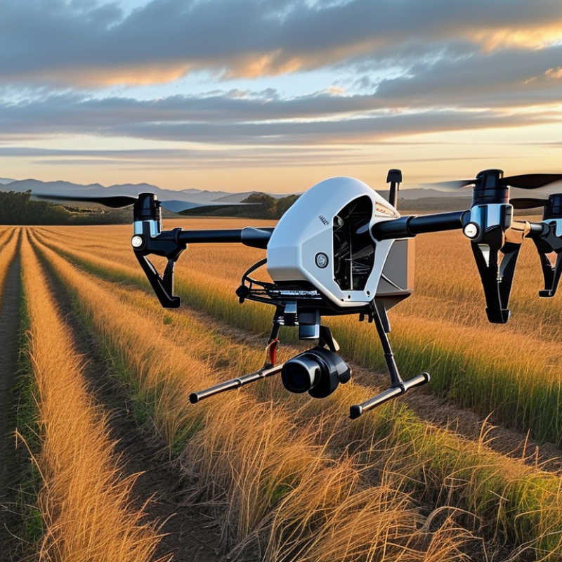
Understanding the Different Types of Drone Sensors Available
When selecting a drone sensor, understanding the types available is key. Different sensors serve distinct purposes. For instance, RGB cameras capture high-resolution images, enhancing aerial photography. According to a 2022 market report, imaging sensors dominate the drone industry, accounting for 40% of sensor sales. Their versatility makes them popular among hobbyists and professionals alike.
Lidar sensors, on the other hand, offer precision in mapping and surveying. They can create 3D models of landscapes and structures. A study by Drone Industry Insights noted that Lidar technology has seen a 30% increase in adoption rates over the past three years. This growth reflects its reliability in diverse applications, such as forestry and construction.
Thermal sensors provide critical data in industries like agriculture and search and rescue. These sensors measure heat emitted from objects, helping identify anomalies. However, thermal imaging may present challenges in adverse weather conditions. Balancing sensor capabilities with specific project needs requires careful consideration. Each sensor type involves a tradeoff between cost, complexity, and performance. Therefore, it's vital to reflect on both capabilities and limitations before making a choice.
Evaluating Your Specific Needs for Drone Sensor Applications
Selecting the right drone sensor requires a deep understanding of your specific needs. Different applications demand varying sensor capabilities, and assessing these requirements is crucial. For instance, GIS professionals may prioritize high-resolution cameras and LIDAR systems, as accuracy is paramount in their mapping tasks. In fact, a report from DroneAnalyst indicates that 70% of commercial drone users focus on survey-grade sensors to guarantee precision.
When considering the environment, temperature and humidity levels can affect sensor performance. For example, infrared sensors operate differently in varying climates. Understanding how these variables interact with your sensors can help you avoid possible operational failures. Engineers need reliable sensors for inspections; an unreliable sensor may lead to costly errors. Thoughtful evaluation can prevent choosing a sensor that performs poorly in specific conditions.
Budget constraints also play a significant role. While it's tempting to opt for advanced sensors, they may not always be necessary. According to industry insights, 45% of users find that mid-range sensors fulfill their needs without overspending. Regularly reflecting on how sensor features align with actual use cases may reveal that simpler, more accessible technology suffices. Balancing performance with cost is key to making an informed decision.
Drone Sensor Types and Their Applications
Key Features to Consider When Choosing a Drone Sensor
When selecting the best drone sensor for your needs, several key features require attention. First, consider the type of sensor. Multi-spectral sensors can provide valuable data for agricultural monitoring. Cameras with high resolution capture stunning aerial images and videos. Lidar sensors offer 3D mapping capabilities, crucial for topographical studies.
Data from industry reports indicate that drones equipped with high-definition cameras are preferred in inspections, improving accuracy by 30% compared to traditional methods. Efficiency matters, too. The battery life of the drone can impact project timelines. Most commercial drones sustain flight for 20 to 30 minutes. This factor could dictate your operational strategy, especially for extensive survey areas.
When deciding on a sensor, think about the environment where the drone will be used. Sensors designed for rugged landscapes often withstand harsher conditions. Adverse weather can affect performance. Keep in mind that not all sensors work well in low-light situations.
Brainstorm your requirements before purchasing. This reflection clarifies what functionalities are non-negotiable. You may prioritize image quality over data processing speed. Ultimately, assessing these aspects will facilitate better decision-making, aligning your sensor choice with project goals.
Comparing Performance Metrics of Various Drone Sensors
When selecting a drone sensor, understanding performance metrics is crucial. Various sensors excel in different environments and applications. For instance, multispectral sensors detect vegetation health, while thermal sensors identify heat signatures. The choice depends on your specific needs, such as agricultural monitoring or search and rescue missions.
Sensor resolution plays a vital role in performance. Higher resolution sensors provide detailed imagery, essential for mapping and surveying. However, they may require more processing power and storage. Battery life also influences operational time. Sensors that consume less energy allow longer flights, making them ideal for expansive areas.
Evaluating the weight and size of sensors is essential too. Heavier sensors can impact drone stability and flight duration. Each sensor type has its trade-offs, and the best choice often comes from trial and error. Testing in real-world conditions will help you find the perfect balance. Observing performance metrics can lead to improved decision-making, even if initial attempts may not yield perfect results. Adjust based on feedback and ensure optimal use of your drone capabilities.
Budget Considerations for Selecting the Right Drone Sensor
When selecting a drone sensor, budget plays a critical role. Affordable options often lack advanced features. They might serve basic needs but won't yield high-quality data. This reality can be frustrating for those keen on aerial photography or surveying. Balancing cost with performance is essential.
Consider what you truly need from a sensor. High-resolution cameras are great for detail but can be expensive. If you're focused on basic mapping, a lower-cost sensor may suffice. It’s a tough choice. Spending too little might leave you disappointed. Yet, overspending can strain your budget. Reflect on your projects, and prioritize features that matter most.
Investing in education can also impact your decision. Understanding specifications helps you make informed choices. Sometimes cheaper sensors come with hidden costs like replacements or compatibility issues. Analyze your needs. A well-considered choice can save you money and improve your drone experience.
How to Choose the Best Drone Sensor for Your Needs? - Budget Considerations for Selecting the Right Drone Sensor
| Sensor Type | Resolution | Price Range | Best For | Key Features |
| RGB Camera | 12-24 MP | $300 - $1200 | Photography, Mapping | High resolution, HD video |
| Thermal Sensor | 320x240 to 640x512 | $1000 - $6000 | Inspection, Search and Rescue | Heat detection, night vision |
| LiDAR Sensor | Varies by model | $5000 - $10000 | 3D Mapping, Surveying | High accuracy, vegetation penetration |
| Multispectral Sensor | Various bands | $1500 - $3000 | Agriculture, Environmental Monitoring | Crop health analysis, vegetation index |
| Optical Flow Sensor | N/A | $100 - $500 | Stabilization, Navigation | Low-cost, lightweight |